Skip to main content
Skip to footer
Home
General Information
Complimentary Shuttle
SOSTC
Architectural Guidelines
Renting Your Home
Paying Dues
Events
Vendors
Fire Safety
Contact Us
Home
General Information
Complimentary Shuttle
SOSTC
Architectural Guidelines
Renting Your Home
Paying Dues
Events
Vendors
Fire Safety
Contact Us
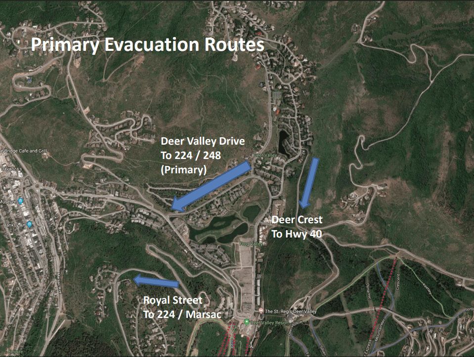
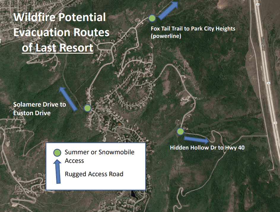
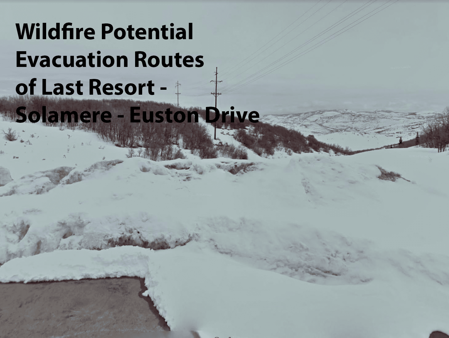
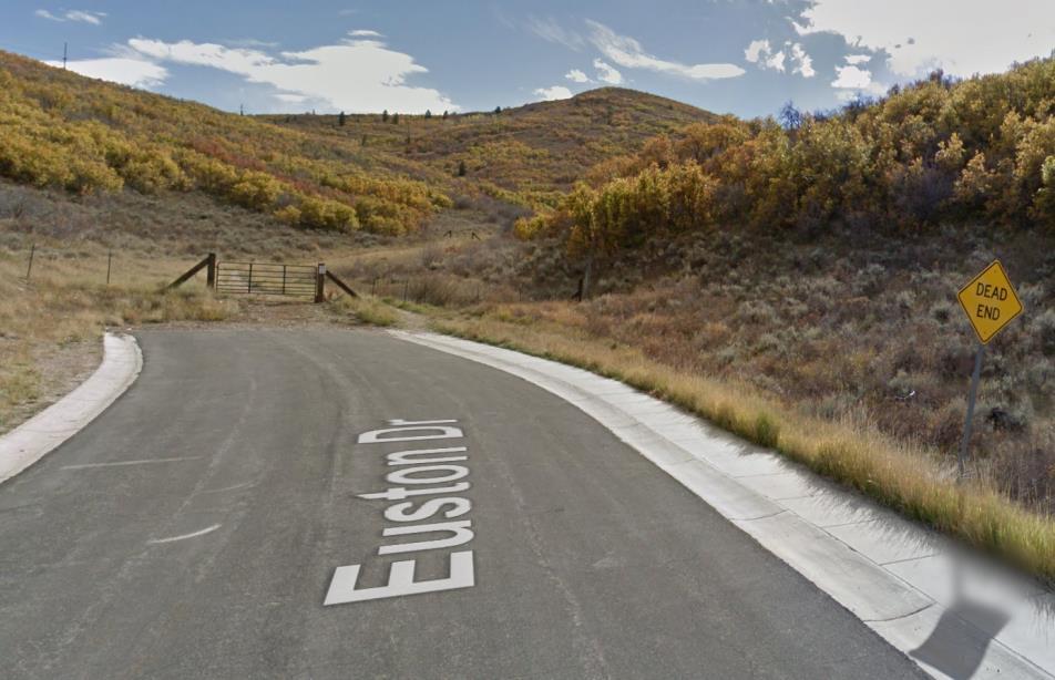
Fire Safety
Firewise Home & Property Assessment
Park City Building Department Firewise Home & Property Assessment